Massive Peak Collapses Reshaping the Himalayas

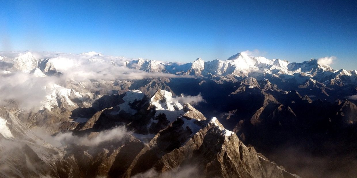
The magnificent Himalayan mountain range, shaped by the interplay of tectonic forces and erosion, stands as a testament to the constant dynamic forces at work on our planet. While volcanic activity and plate collisions propel the mountains skyward, erosion, predominantly driven by ice and glaciers, exerts a downward force. However, recent research challenges the conventional understanding of erosion’s impact on the tallest peaks. This article explores a groundbreaking study suggesting that the collapse of massive peaks, rather than gradual erosion, shapes the Himalayas, leading to catastrophic landslides that reshape the landscape miles downstream.
Ice’s Limited Role in Erosion
Ice has long been recognized as a formidable agent of erosion. Glaciers actively erode rocks through scraping and cracking during freeze/thaw cycles. However, the influence of ice on the tallest peaks appears to be limited. At these extreme altitudes, the freeze/thaw cycle becomes dormant due to the perennial cold. Additionally, the steep inclines of the peaks prevent glacier formation, confining them mostly to valleys situated a kilometer or more below the summits.
The Annapurna Range and the Sabche Cirque
The Annapurna range in Nepal boasts the majestic Annapurna I, the world’s tenth-highest peak, towering over 8,000 meters above sea level. The range also harbors several neighboring peaks surpassing 7,000 meters. Deep basins lie amidst these peaks, descending over three kilometers below their summits, with narrow river-filled gorges serving as the only accessible passages. The well-known Annapurna Sanctuary is one such basin, while a lesser-known but distinct basin named the Sabche Cirque lies to its east.
The Sabche Cirque exhibits a stark contrast to the Sanctuary. Filled with sedimentary rocks, it forms a landscape adorned with jagged spires reaching heights of up to one kilometer. Unlike the Sanctuary, the Sabche Cirque sustains a considerably diminished ecosystem, with its drainage occurring through an exceptionally narrow and steep gorge.
Exploring the Sabche Cirque: A Hidden Enigma
Due to its remoteness and challenging accessibility, the Sabche Cirque has remained largely unexplored. Nonetheless, a French-Nepali team overcame these obstacles and ventured into this intriguing landscape, successfully collecting rock samples for analysis.
The rock deposits in the Sabche Cirque were identified as breccia, characterized by larger rock fragments embedded in compressed sedimentary material. Surprisingly, the size of the embedded debris increases with altitude, contradicting the notion of gradual erosion or multiple smaller events. To validate the theory of a single source, the researchers conducted age analysis using carbon-14 dating of plant remains found within the material. The consistent dating results indicated that the entire deposit formed at once around the year 1200 CE.
Unveiling the Scale of a Cataclysmic Collapse
Through meticulous investigation, the research team estimated the original state of the valley before the rockslide and determined the initial volume of the deposits based on the remaining material. The calculations revealed that approximately 23 cubic kilometers of rock contributed to the colossal debris, marking the largest rockslide ever recorded in the Himalayas.
The volume of rock was sufficient to fill the Sabche Cirque to a depth of one kilometer. Moreover, the excess material cascaded downstream, spilling into the valley beyond the gorge. Comparable deposits dating back to the same period can be observed for at least 10 kilometers downstream.
Examining the peaks surrounding the Sabche Cirque, researchers identified a significant area beneath the current summit of Annapurna IV that displayed minimal signs of erosion. Instead, the presence of planar features suggested that the rock faces sheared off along faults. By combining the estimated volume of the debris with the area characterized by these features, researchers reconstructed the original appearance of Annapurna IV. Their findings indicate that the peak once stood at an impressive height of over 8,000 meters but lost approximately half a kilometer during the rockslide.
Continuing their investigation downstream from the Sabche Cirque, the research team determined that the valley now contains roughly half of the initial debris. The dating of deposits suggests that the valley began filling within a century of the rockslide and continued to accumulate material over the subsequent century. While this event would have been catastrophic for the inhabitants of the region at the time, the altered landscape now supports fertile farmlands and is home to Nepal’s second-largest city.
Erosion Through Alternative Mechanisms
In addition to shedding light on the scale of this monumental event, the researchers put forth a compelling argument that massive rockslides may account for a significant portion of the material loss from the world’s tallest peaks. As a mountain range reaches a certain height, several factors come into play. Above a particular altitude, freeze/thaw cycles cease to erode the peaks significantly, only slightly diminishing their height compared to the rapid growth resulting from plate tectonics.
Simultaneously, glaciers actively erode the valleys below, intensifying the steepness of the slopes and exerting stress on the rocks at their base. With decreasing material support, the rocks become increasingly susceptible to collapse, particularly if they harbor internal defects. Although seismic events in earthquake-prone areas may act as a final trigger for collapse, no evidence of a major earthquake coinciding with the Sabche Cirque rockslide has been found.
The implications of this research serve as a cautionary reminder to those residing in the world’s tallest mountain regions across Asia and South America. While identifying sheer mountain faces prone to sudden collapse may be possible, predicting the timing and scale of such events remains a formidable challenge.


